In HYPERION resilience offers an overarching strategy that includes risk management, protection and preparedness as complementary strategies to prevent damages to cultural sites, identify and ward off additional threats and promote adaptation, reconstruction and other post-disruption strategies to restore normal conditions to the historic area, as well as long-term strategic approaches to adapt to Climate Change and to wield policy tools for economic resilience.

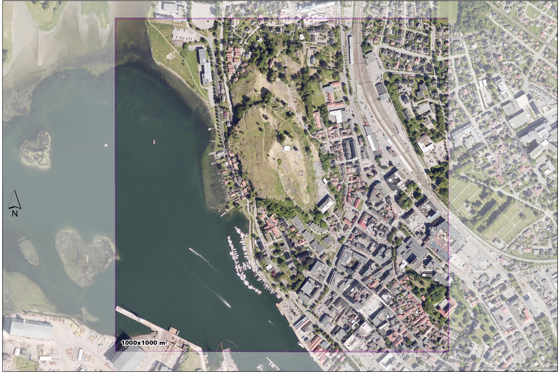
HYPERION will introduce a research framework for downscaling the created climate and atmospheric composition as well as associated risk maps down to the 1×1 km scale. Applying atmospheric modelling for specific Climate Change scenarios at such refined spatial and time scales allows for an accurate quantitative and qualitative impact assessment of the estimated micro-climatic and atmospheric stressors.
HYPERION will perform combined Hygro-Thermal and Structural/Geotechnical analysis of the Cultural Heritage sites and damage assessment under normal (past) and changed (future) conditions (anthropogenic or/and natural disasters), based on the climatic zone, the micro-climate conditions, the petrographic and physical-mechanical features of building materials, historic data for the structures, the effect of previous restoration processes and the environmental/physical characteristics of the surrounding environment. The data coming from the deployed sensors will be coupled with simulated data over the wider Cultural Heritage area (under Holistic Risk Assessment Platform) and will be further analysed through our data management system and support communities’ participation and public awareness. The data from the sensors will feed the Decision Support System to provide appropriate adaptation and mitigation strategies, and support sustainable reconstruction plans for the cultural heritage damages to the vulnerable assets.

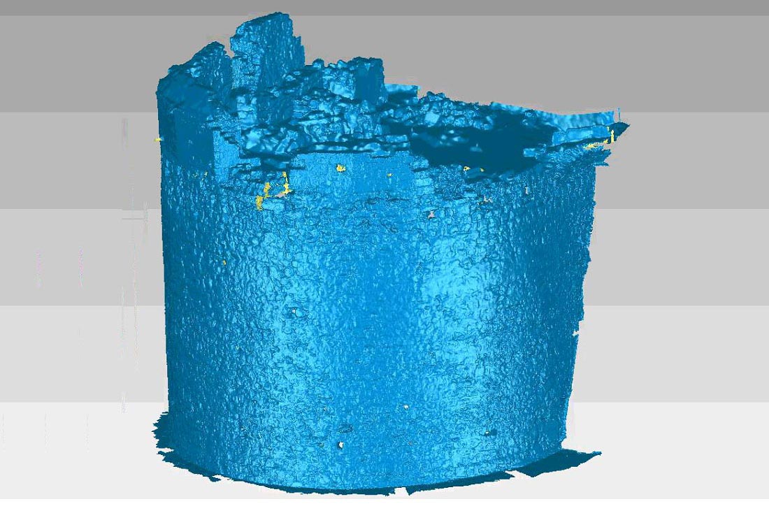
The HYPERION system ends up to an enhanced visualization tool with improved 4D capabilities (3D plus time) that can provide a simple and easy way for all relevant stakeholders to assess damage and risk. The produced vulnerability map (based on the produced climate risk regional models) will be used by the local authorities to assess the threats of climate change (and other natural hazards), visualize the built heritage and cultural landscape under future climate scenarios, model the effects of different adaptation strategies, and ultimately prioritize any rehabilitation actions to best allocate funds in both pre- and post-event environments.

